
Shirar topographic map
Interactive map
Click on the map to display elevation.
About this map
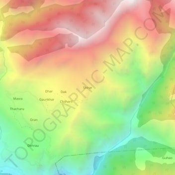
Name: Shirar topographic map, elevation, terrain.
Location: Shirar, Cheta, Shimla, Himachal Pradesh, India (30.80697 77.64574 30.84697 77.68574)
Average elevation: 6,119 ft
Minimum elevation: 3,346 ft
Maximum elevation: 8,875 ft