
Sarceda topographic map
Interactive map
Click on the map to display elevation.
About this map
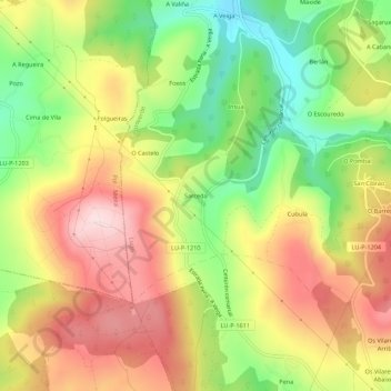
Name: Sarceda topographic map, elevation, terrain.
Location: Sarceda, Lugo, Galicia, 27128, España (43.06327 -7.37030 43.10327 -7.33030)
Average elevation: 2,267 ft
Minimum elevation: 1,726 ft
Maximum elevation: 2,792 ft