
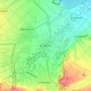
Sinzenich topographic map
Interactive map
Click on the map to display elevation.
About this map
Name: Sinzenich topographic map, elevation, terrain.
Average elevation: 614 ft
Minimum elevation: 518 ft
Maximum elevation: 771 ft
Other topographic maps
Click on a map to view its topography, its elevation and its terrain.
Füssenich
Deutschland > Nordrhein-Westfalen > Kreis Euskirchen > Zülpich
Füssenich, Zülpich, Kreis Euskirchen, Nordrhein-Westfalen, 52391, Deutschland
Average elevation: 545 ft