Geolocate

Pugo topographic map

Click on the map to display elevation.

About this map

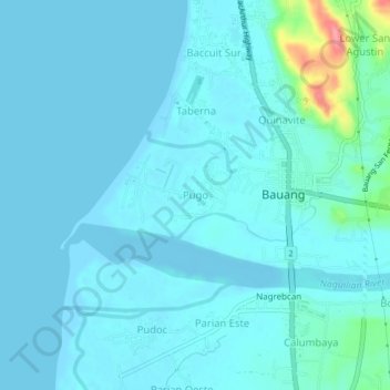
Name: Pugo topographic map, elevation, terrain.

Location: Pugo, Bauang, La Union, Ilocos Region, 2501, Philippines (16.50652 120.29986 16.54652 120.33986)

Average elevation: 33 ft

Minimum elevation: -7 ft

Maximum elevation: 312 ft

Gear up for your next adventure:

🔦LED Headlamp - Bright and durable LED headlamp for night navigation
🎒Trekking Poles - Sturdy poles for balance and stability on rough terrain
👟Trail Running Shoes - Lightweight shoes for trail runners
🍳Camping Cook Set - Complete cookware for outdoor meals
🧢Outdoor Hiking Hat - Sun protection hat for outdoor explorers

As an Amazon Associate, this site earns from qualifying purchases at no extra cost to you.