
San Vicente topographic map
Interactive map
Click on the map to display elevation.
About this map
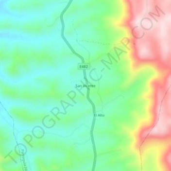
Name: San Vicente topographic map, elevation, terrain.
Location: San Vicente, Parroquia Jipijapa, Jipijapa, Manabí, Ecuador (-1.42551 -80.59068 -1.38551 -80.55068)
Average elevation: 1,201 ft
Minimum elevation: 787 ft
Maximum elevation: 1,972 ft
Other topographic maps
Click on a map to view its topography, its elevation and its terrain.