
El Sombrero topographic map
Interactive map
Click on the map to display elevation.
About this map
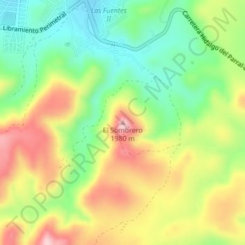
Name: El Sombrero topographic map, elevation, terrain.
Location: El Sombrero, Hidalgo del Parral, Chihuahua, 33896, México (26.90913 -105.63979 26.90923 -105.63969)
Average elevation: 6,063 ft
Minimum elevation: 5,705 ft
Maximum elevation: 6,509 ft