
Скобаљић Град topographic map
Interactive map
Click on the map to display elevation.
About this map
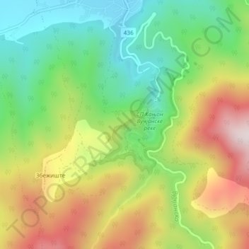
Name: Скобаљић Град topographic map, elevation, terrain.
Average elevation: 1,732 ft
Minimum elevation: 906 ft
Maximum elevation: 2,864 ft
Other topographic maps
Click on a map to view its topography, its elevation and its terrain.
City of Leskovac
Serbia > Central Serbia > Jablanica Administrative District > City of Leskovac
City of Leskovac, Jablanica Administrative District, Central Serbia, Serbia
Average elevation: 1,844 ft