
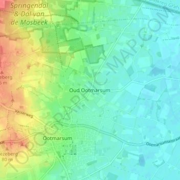
Oud Ootmarsum topographic map
Interactive map
Click on the map to display elevation.
About this map
Name: Oud Ootmarsum topographic map, elevation, terrain.
Location: Oud Ootmarsum, Overijssel, Nederland, 7637, Nederland (52.39825 6.88870 52.43825 6.92870)
Average elevation: 118 ft
Minimum elevation: 59 ft
Maximum elevation: 246 ft