
Pegasing topographic map
Interactive map
Click on the map to display elevation.
About this map
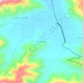
Name: Pegasing topographic map, elevation, terrain.
Location: Pegasing, Aceh Tengah, Aceh, Indonesia (4.53762 96.79084 4.57762 96.83084)
Average elevation: 4,311 ft
Minimum elevation: 3,986 ft
Maximum elevation: 5,522 ft