
Adoufe e Vilarinho de Samardã topographic map
Interactive map
Click on the map to display elevation.
About this map
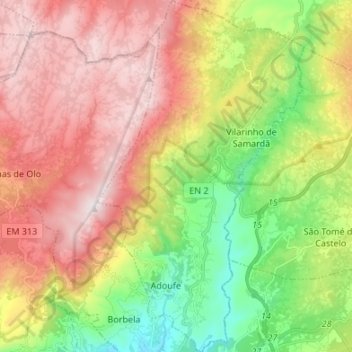
Name: Adoufe e Vilarinho de Samardã topographic map, elevation, terrain.
Average elevation: 2,808 ft
Minimum elevation: 1,345 ft
Maximum elevation: 4,347 ft