
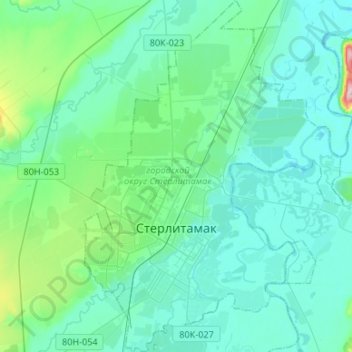
Стерлитамак topographic map
Interactive map
Click on the map to display elevation.
About this map
Name: Стерлитамак topographic map, elevation, terrain.
Average elevation: 499 ft
Minimum elevation: 384 ft
Maximum elevation: 1,234 ft
Other topographic maps
Click on a map to view its topography, its elevation and its terrain.
Стерлитамак
Россия > Башкортостан > городской округ Стерлитамак > Стерлитамак
Стерлитамак, городской округ Стерлитамак, Башкортостан, Приволжский федеральный округ, 453126, Россия
Average elevation: 568 ft