
Uley topographic map
Interactive map
Click on the map to display elevation.
About this map
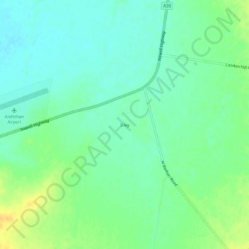
Name: Uley topographic map, elevation, terrain.
Location: Uley, Coolamon Shire Council, New South Wales, Australia (-34.43484 146.86060 -34.39484 146.90060)
Average elevation: 663 ft
Minimum elevation: 630 ft
Maximum elevation: 715 ft