
Oatfield topographic map
Interactive map
Click on the map to display elevation.
About this map
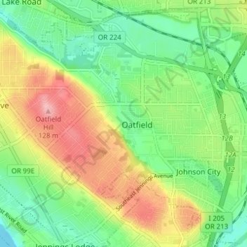
Name: Oatfield topographic map, elevation, terrain.
Location: Oatfield, Clackamas County, Oregon, 97267, United States (45.39205 -122.63284 45.43345 -122.57137)
Average elevation: 171 ft
Minimum elevation: 7 ft
Maximum elevation: 407 ft