
Schmirn topographic map
Interactive map
Click on the map to display elevation.
About this map
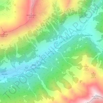
Name: Schmirn topographic map, elevation, terrain.
Location: Schmirn, Bezirk Innsbruck-Land, Tyrol, 6154, Autriche (47.05929 11.54395 47.09929 11.58395)
Average elevation: 6,010 ft
Minimum elevation: 4,436 ft
Maximum elevation: 8,655 ft