
Lyle topographic map
Interactive map
Click on the map to display elevation.
About this map
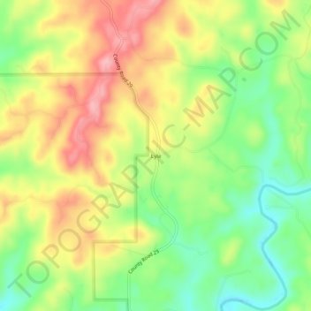
Name: Lyle topographic map, elevation, terrain.
Location: Lyle, Coosa County, Alabama, United States (32.86874 -86.35525 32.90874 -86.31525)
Average elevation: 538 ft
Minimum elevation: 315 ft
Maximum elevation: 778 ft