
Magnée topographic map
Interactive map
Click on the map to display elevation.
About this map
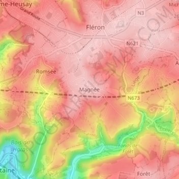
Name: Magnée topographic map, elevation, terrain.
Location: Magnée, Fléron, Liège, Wallonie, 4620, Belgique (50.58288 5.66110 50.62288 5.70110)
Average elevation: 702 ft
Minimum elevation: 256 ft
Maximum elevation: 886 ft
Other topographic maps
Click on a map to view its topography, its elevation and its terrain.