
Sands topographic map
Interactive map
Click on the map to display elevation.
About this map
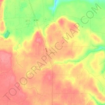
Name: Sands topographic map, elevation, terrain.
Location: Sands, Marquette County, Michigan, VS (46.40077 -87.42681 46.44077 -87.38681)
Average elevation: 1,161 ft
Minimum elevation: 974 ft
Maximum elevation: 1,260 ft