
Fountain topographic map
Interactive map
Click on the map to display elevation.
About this map
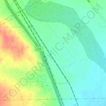
Name: Fountain topographic map, elevation, terrain.
Location: Fountain, El Paso County, Colorado, United States (38.56339 -104.66068 38.57892 -104.64770)
Average elevation: 5,322 ft
Minimum elevation: 5,253 ft
Maximum elevation: 5,443 ft