
Sander topographic map
Interactive map
Click on the map to display elevation.
About this map
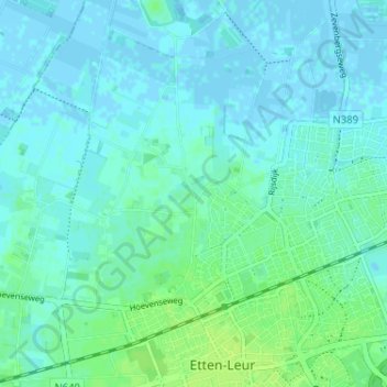
Name: Sander topographic map, elevation, terrain.
Location: Sander, Nordbrabant, Niederlande, 4874, Niederlande (51.56694 4.61123 51.60694 4.65123)
Average elevation: 13 ft
Minimum elevation: -10 ft
Maximum elevation: 36 ft