
Sorba topographic map
Interactive map
Click on the map to display elevation.
About this map
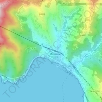
Name: Sorba topographic map, elevation, terrain.
Location: Sorba, Moneglia, GE, Liguria, 19013, Italia (44.24157 9.48357 44.24313 9.48825)
Average elevation: 371 ft
Minimum elevation: 0 ft
Maximum elevation: 1,463 ft