
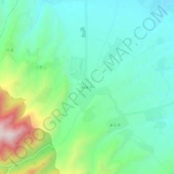
麻家寺 topographic map
Interactive map
Click on the map to display elevation.
About this map
Name: 麻家寺 topographic map, elevation, terrain.
Location: 麻家寺, 连搭镇, 榆中县, 兰州市, 甘肃省, 中国 (35.86266 104.01209 35.90266 104.05209)
Average elevation: 7,116 ft
Minimum elevation: 6,522 ft
Maximum elevation: 8,770 ft