
Mayerling topographic map
Interactive map
Click on the map to display elevation.
About this map
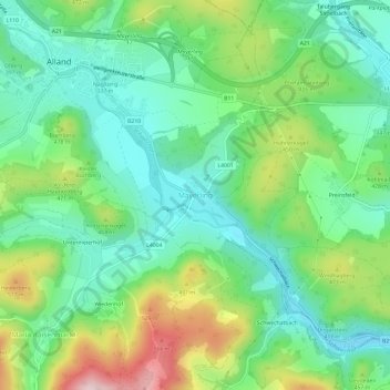
Name: Mayerling topographic map, elevation, terrain.
Location: Mayerling, Bezirk Baden, Lower Austria, 2534, Austria (48.02510 16.07673 48.06510 16.11673)
Average elevation: 1,286 ft
Minimum elevation: 955 ft
Maximum elevation: 1,991 ft