
Mollebaya topographic map
Interactive map
Click on the map to display elevation.
About this map
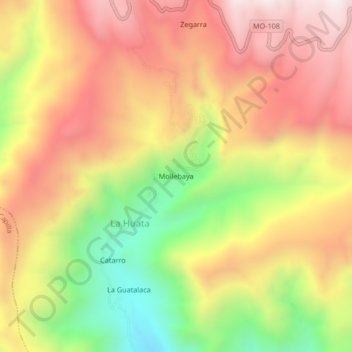
Name: Mollebaya topographic map, elevation, terrain.
Location: Mollebaya, General Sánchez Cerro, Moquegua, Perú (-16.69333 -71.15728 -16.65333 -71.11728)
Average elevation: 9,285 ft
Minimum elevation: 7,507 ft
Maximum elevation: 10,719 ft