
Brown Arrow topographic map
Interactive map
Click on the map to display elevation.
About this map
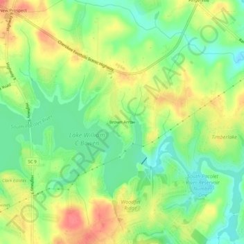
Name: Brown Arrow topographic map, elevation, terrain.
Location: Brown Arrow, Spartanburg County, South Carolina, 29338, USA (35.09401 -82.04205 35.13401 -82.00205)
Average elevation: 856 ft
Minimum elevation: 761 ft
Maximum elevation: 971 ft