
Sagh topographic map
Interactive map
Click on the map to display elevation.
About this map
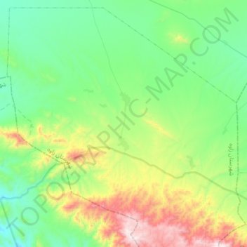
Name: Sagh topographic map, elevation, terrain.
Location: Sagh, بخش سلیمان, Zaveh County, Razavi Khorasan Province, Iran (35.01079 59.76790 35.22540 60.05447)
Average elevation: 5,597 ft
Minimum elevation: 4,570 ft
Maximum elevation: 8,327 ft