
Retba topographic map
Interactive map
Click on the map to display elevation.
About this map
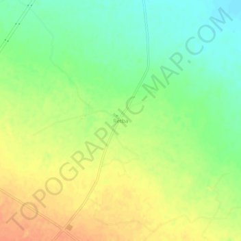
Name: Retba topographic map, elevation, terrain.
Location: Retba, Maarif, Daïra Chellal, M'Sila, Algérie (35.34187 4.31612 35.38187 4.35612)
Average elevation: 1,378 ft
Minimum elevation: 1,312 ft
Maximum elevation: 1,440 ft