
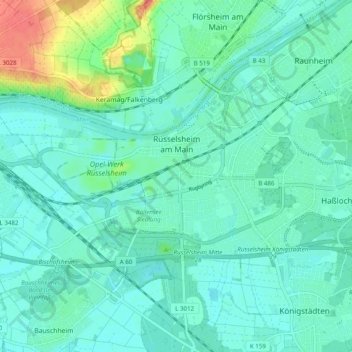
Rüsselsheim am Main topographic map
Interactive map
Click on the map to display elevation.
About this map
Name: Rüsselsheim am Main topographic map, elevation, terrain.
Location: Rüsselsheim am Main, Kreis Groß-Gerau, Hesse, 65428, Germany (49.97117 8.36124 50.00704 8.45925)
Average elevation: 305 ft
Minimum elevation: 269 ft
Maximum elevation: 440 ft