
Laguna Bahia Toco Largo topographic map
Interactive map
Click on the map to display elevation.
About this map
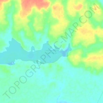
Name: Laguna Bahia Toco Largo topographic map, elevation, terrain.
Average elevation: 535 ft
Minimum elevation: 479 ft
Maximum elevation: 640 ft