
Birchmoor topographic map
Interactive map
Click on the map to display elevation.
About this map
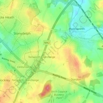
Name: Birchmoor topographic map, elevation, terrain.
Average elevation: 305 ft
Minimum elevation: 194 ft
Maximum elevation: 456 ft
Other topographic maps
Click on a map to view its topography, its elevation and its terrain.
Pooley Country Park
United Kingdom > England > Warwickshire > North Warwickshire > Polesworth
Pooley Country Park, Shuttington CP, Polesworth, North Warwickshire, Warwickshire, West Midlands, England, United Kingdom
Average elevation: 249 ft