
Dawson Island topographic map
Interactive map
Click on the map to display elevation.
About this map
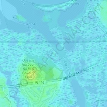
Name: Dawson Island topographic map, elevation, terrain.
Location: Dawson Island, Jacksonville, Duval County, Florida, USA (30.36596 -81.44852 30.36715 -81.44754)
Average elevation: 7 ft
Minimum elevation: -16 ft
Maximum elevation: 52 ft
Other topographic maps
Click on a map to view its topography, its elevation and its terrain.
Marion Island
USA > Florida > Jacksonville
Marion Island, Jacksonville, Duval County, Florida, USA
Average elevation: 10 ft