
Sümer Mahallesi topographic map
Interactive map
Click on the map to display elevation.
About this map
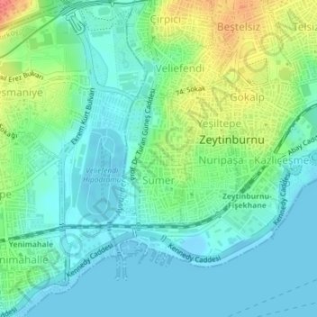
Name: Sümer Mahallesi topographic map, elevation, terrain.
Location: Sümer Mahallesi, Zeytinburnu, Istanbul, Marmara Region, Turkey (40.98258 28.88996 40.99379 28.89934)
Average elevation: 56 ft
Minimum elevation: -20 ft
Maximum elevation: 190 ft