
龙场镇 topographic map
Interactive map
Click on the map to display elevation.
About this map
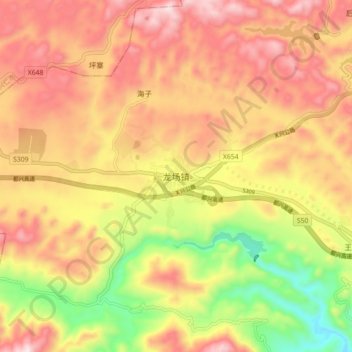
Name: 龙场镇 topographic map, elevation, terrain.
Location: 龙场镇, 贞丰县, 黔西南布依族苗族自治州, 贵州省, 中国 (25.42460 105.45700 25.50460 105.53700)
Average elevation: 4,298 ft
Minimum elevation: 3,228 ft
Maximum elevation: 5,131 ft
Other topographic maps
Click on a map to view its topography, its elevation and its terrain.