
Milroy topographic map
Interactive map
Click on the map to display elevation.
About this map
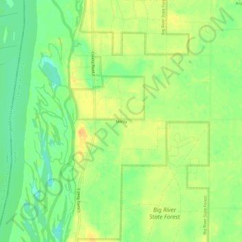
Name: Milroy topographic map, elevation, terrain.
Location: Milroy, Henderson County, Illinois, United States (40.99865 -90.94098 41.03865 -90.90098)
Average elevation: 561 ft
Minimum elevation: 509 ft
Maximum elevation: 607 ft