
De Ronde Venen topographic map
Interactive map
Click on the map to display elevation.
About this map
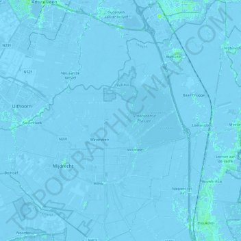
Name: De Ronde Venen topographic map, elevation, terrain.
Location: De Ronde Venen, Utrecht, Netherlands, The Netherlands (52.16146 4.79442 52.30362 5.02193)
Average elevation: -7 ft
Minimum elevation: -26 ft
Maximum elevation: 33 ft
Dutch Topographic map of the municipality of De Ronde Venen, June 2015