
洪村口 topographic map
Interactive map
Click on the map to display elevation.
About this map
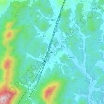
Name: 洪村口 topographic map, elevation, terrain.
Location: 洪村口, 溪头镇, 歙县, 黄山市, 安徽省, 中国 (29.94953 118.42122 29.98953 118.46122)
Average elevation: 761 ft
Minimum elevation: 433 ft
Maximum elevation: 2,047 ft