
Winterborne Kingston topographic map
Interactive map
Click on the map to display elevation.
About this map
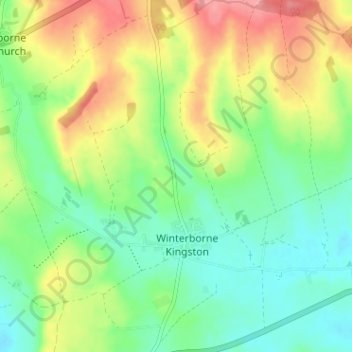
Name: Winterborne Kingston topographic map, elevation, terrain.
Location: Winterborne Kingston, Dorset, England, United Kingdom (50.76604 -2.23243 50.80634 -2.17595)
Average elevation: 253 ft
Minimum elevation: 141 ft
Maximum elevation: 423 ft