
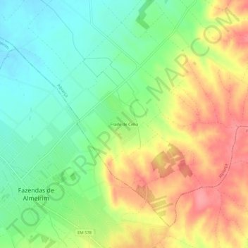
Frade de Cima topographic map
Interactive map
Click on the map to display elevation.
About this map
Name: Frade de Cima topographic map, elevation, terrain.
Location: Frade de Cima, Alpiarça, Santarém, Portugal (39.16807 -8.58502 39.20807 -8.54502)
Average elevation: 253 ft
Minimum elevation: 128 ft
Maximum elevation: 404 ft