
La Angostura 2 topographic map
Interactive map
Click on the map to display elevation.
About this map
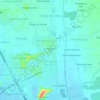
Name: La Angostura 2 topographic map, elevation, terrain.
Location: La Angostura 2, La Angostura, Ica, 11000, Perú (-14.05373 -75.75534 -14.01373 -75.71534)
Average elevation: 1,381 ft
Minimum elevation: 1,335 ft
Maximum elevation: 1,699 ft