
Pulgarín topographic map
Interactive map
Click on the map to display elevation.
About this map
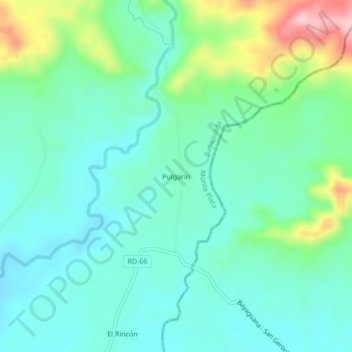
Name: Pulgarín topographic map, elevation, terrain.
Location: Pulgarín, Bayaguana, Monte Plata, República Dominicana (18.77257 -69.51448 18.81257 -69.47448)
Average elevation: 397 ft
Minimum elevation: 230 ft
Maximum elevation: 892 ft