
Great Brook Farm State Park topographic map
Interactive map
Click on the map to display elevation.
About this map
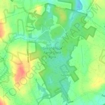
Name: Great Brook Farm State Park topographic map, elevation, terrain.
Average elevation: 200 ft
Minimum elevation: 128 ft
Maximum elevation: 302 ft