La Pastora topographic map
Interactive map
Click on the map to display elevation.
About this map
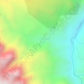
Name: La Pastora topographic map, elevation, terrain.
Average elevation: 10,203 ft
Minimum elevation: 9,124 ft
Maximum elevation: 11,719 ft

Click on the map to display elevation.
Name: La Pastora topographic map, elevation, terrain.
Average elevation: 10,203 ft
Minimum elevation: 9,124 ft
Maximum elevation: 11,719 ft