
Belle Mead topographic map
Interactive map
Click on the map to display elevation.
About this map
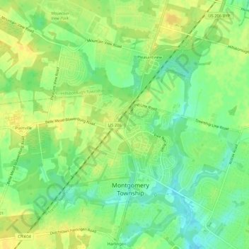
Name: Belle Mead topographic map, elevation, terrain.
Location: Belle Mead, Somerset County, New Jersey, 08502, USA (40.44677 -74.68071 40.48677 -74.64071)
Average elevation: 98 ft
Minimum elevation: 56 ft
Maximum elevation: 128 ft