
咸河 topographic map
Interactive map
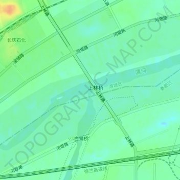
Click on the map to display elevation.
About this map
Name: 咸河 topographic map, elevation, terrain.
Location: 咸河, 渭城区, 咸阳市, 陕西省, 中国 (34.35455 108.77337 34.35583 108.77367)
Average elevation: 1,250 ft
Minimum elevation: 1,214 ft
Maximum elevation: 1,329 ft