
Thank you for supporting this site ❤️
Make a donation
Make a donation
Gear up for your next adventure:
As an Amazon Associate, this site earns from qualifying purchases at no extra cost to you.
Mandli topographic map
Click on the map to display elevation.
Thank you for supporting this site ❤️
Make a donation
Make a donation
Gear up for your next adventure:
As an Amazon Associate, this site earns from qualifying purchases at no extra cost to you.
About this map
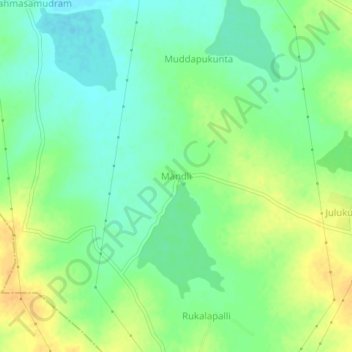
Name: Mandli topographic map, elevation, terrain.
Location: Mandli, Somandepalle, Sri Sathya Sai, Andhra Pradesh, India (13.96219 77.48750 14.00219 77.52750)
Average elevation: 1,995 ft
Minimum elevation: 1,952 ft
Maximum elevation: 2,047 ft
Thank you for supporting this site ❤️
Make a donation
Make a donation
Gear up for your next adventure:
As an Amazon Associate, this site earns from qualifying purchases at no extra cost to you.