
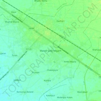
Mandi Gobindgarh topographic map
Interactive map
Click on the map to display elevation.
About this map
Name: Mandi Gobindgarh topographic map, elevation, terrain.
Average elevation: 873 ft
Minimum elevation: 856 ft
Maximum elevation: 892 ft
Other topographic maps
Click on a map to view its topography, its elevation and its terrain.
Amloh
India > Punjab > Amloh Tahsil > Amloh
Amloh, Amloh Tahsil, Fategarh Sahib, Punjab, 147203, India
Average elevation: 856 ft