
英言乡 topographic map
Interactive map
Click on the map to display elevation.
About this map
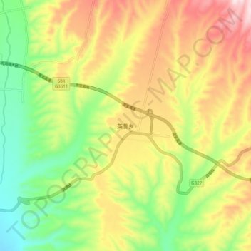
Name: 英言乡 topographic map, elevation, terrain.
Location: 英言乡, 垣曲县, 运城市, 山西省, 中国 (35.12600 111.90200 35.20600 111.98200)
Average elevation: 1,493 ft
Minimum elevation: 833 ft
Maximum elevation: 2,274 ft
Other topographic maps
Click on a map to view its topography, its elevation and its terrain.