
Krong Ta Khmau topographic map
Interactive map
Click on the map to display elevation.
About this map
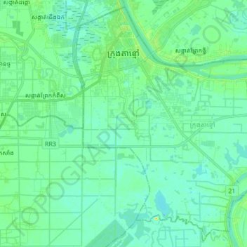
Name: Krong Ta Khmau topographic map, elevation, terrain.
Location: Krong Ta Khmau, Kandal, Cambodia (11.36826 104.91904 11.49451 105.05479)
Average elevation: 26 ft
Minimum elevation: 3 ft
Maximum elevation: 98 ft
Other topographic maps
Click on a map to view its topography, its elevation and its terrain.
Mekong River
Cambodia > Kandal > Khsach Kandal District
Mekong River, Khsach Kandal District, Kandal, Cambodia
Average elevation: 26 ft