
Ter Aar topographic map
Interactive map
Click on the map to display elevation.
About this map
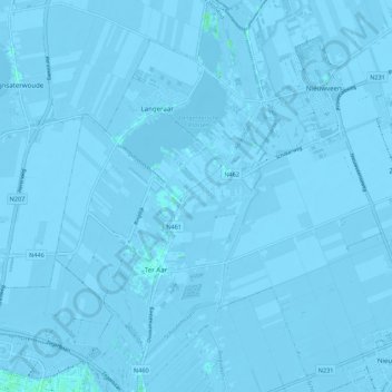
Name: Ter Aar topographic map, elevation, terrain.
Location: Ter Aar, Nieuwkoop, Südholland, Niederlande (52.14462 4.68121 52.21162 4.77335)
Average elevation: -10 ft
Minimum elevation: -26 ft
Maximum elevation: 13 ft
Other topographic maps
Click on a map to view its topography, its elevation and its terrain.
Nieuwkoop
Niederlande > Südholland > Nieuwkoop
Nieuwkoop, Südholland, Niederlande
Average elevation: -10 ft
Nieuwveen
Niederlande > Südholland > Nieuwkoop
Nieuwveen, Nieuwkoop, Südholland, Niederlande
Average elevation: -13 ft
Zevenhoven
Niederlande > Südholland > Nieuwkoop
Zevenhoven, Nieuwkoop, Südholland, Niederlande
Average elevation: -13 ft