
Le Moulin de la Brande topographic map
Interactive map
Click on the map to display elevation.
About this map
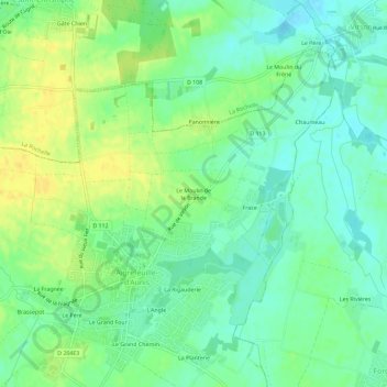
Name: Le Moulin de la Brande topographic map, elevation, terrain.
Average elevation: 69 ft
Minimum elevation: 33 ft
Maximum elevation: 112 ft
Other topographic maps
Click on a map to view its topography, its elevation and its terrain.
Chiloup
France > Nouvelle-Aquitaine > Charente-Maritime > Aigrefeuille-d'Aunis
Chiloup, Aigrefeuille-d'Aunis, Rochefort, Charente-Maritime, Nouvelle-Aquitaine, France métropolitaine, 17290, France
Average elevation: 75 ft