
Dirah topographic map
Interactive map
Click on the map to display elevation.
About this map
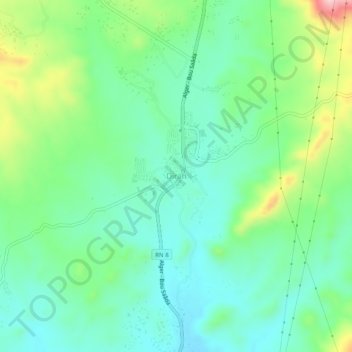
Name: Dirah topographic map, elevation, terrain.
Location: Dirah, Daïra Sour El Ghozlane, Bouira, Algérie (35.97764 3.73423 36.01764 3.77423)
Average elevation: 2,680 ft
Minimum elevation: 2,461 ft
Maximum elevation: 3,222 ft